Sale!

Raymarine LightHouse chart NEU (Northern Europe)

Original price was: 237,90 €.Current price is: 199,00 €.

Super offer! -16%

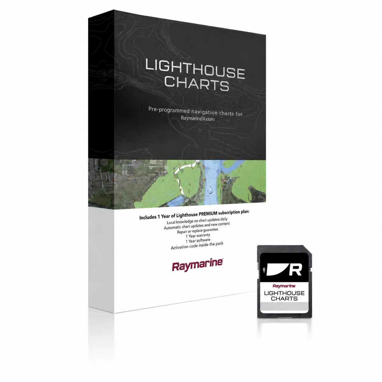
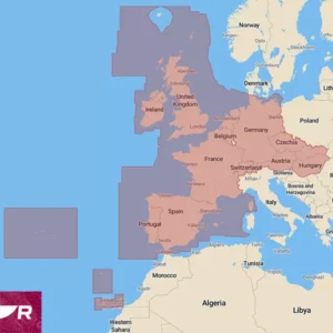
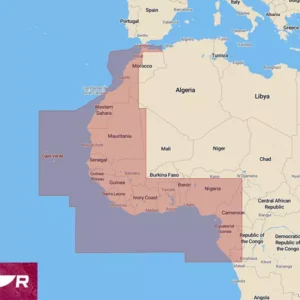
Raymarine LightHouse Navionics (mSD), North Europe, covers Northern Europe, including Norway, Sweden, Finland, Estonia, Latvia, Lithuania, Poland, Germany, Denmark, Switzerland, Austria, Czech Republic, Hungary, and Slovakia. These charts are based on data from official hydrographic sources, converted into Raymarine's own .rmc format. The benefits of the new chart software include exceptional clarity, increased functionality, and improved imagery. Raymarine Lighthouse Navionics charts are suitable for devices running Lighthouse 3, 4, and 5 operating systems, Axiom, Axiom+, Axiom Pro, Axiom2 Pro, Axiom XL, Axiom2 XL and Element series. See more Raymarine LightHouse About maps. Raymarine equipment software is freely downloadable. The minimum software required for displaying LightHouse charts is included on the memory card. Raymarine LightHouse chart users can choose between four different display modes: Day, Dusk, Night, and Bright Sunlight. All these modes are designed to enhance overall clarity and reduce eye strain in various lighting conditions. Without altering the overall chart size, the size of buoys, lights, and other navigational icons can be adjusted on LightHouse charts. The level of detail displayed on the charts can also be adjusted, from displaying only essential navigational aids (Low) to adding other objects to varying degrees (High). NB! LightHouse chartplotter lacks the Auto-Route function!

Quick guide How to download the LightHouse map is at the bottom of the page!

5 in stock

Do you want advice?

Get in touch with us!

Product delivery

For produce, 2-3 working days. In other cases, 7-14 working days. Ask for more information!

Raymarine LightHouse Nautical Charts (mSD), North Europe covers Northern Europe, including Norway, Sweden, Finland, Estonia, Latvia, Lithuania, Poland, Germany, Denmark, Switzerland, Austria, Czech Republic, Hungary, and Slovakia. These charts are based on data from official hydrographic sources, converted into Raymarine's proprietary .rmc format. The advantages of the new chart software include exceptional clarity, enhanced functionality, and improved imagery. Raymarine Lighthouse Nautical Charts are suitable for devices running Lighthouse 3, 4, and 5 operating systems, Axiom, Axiom+, Axiom Pro, Axiom2 Pro, Axiom XL, Axiom2 XL, and Element series. Please check if your devices are up to date. The minimum update software .iso files required to display the LightHouse nautical chart are included on the memory card. After updating your devices, you can delete the software files from the memory card. If your chartplotter already has the same or newer software, do not perform the update.

See Raymarine Teave laevateede kohta. Raymarine equipment software is freely downloadable. Before updating the software on your chartplotter or other navigation equipment, please read the guide on how to do it. Software update at your own risk.

Users of Raymarine LightHouse charts can choose between four different display modes: day, twilight, night and bright sun. All these modes are designed to improve overall clarity and reduce eye strain in different lighting conditions. Without changing the overall size of the chart, you can adjust the size of navigation marks, lights and other navigation icons on LightHouse charts. You can also adjust the level of detail displayed on the charts, limiting the display to only the main navigational aids (low) or including other objects to varying degrees (high). The source data for points of interest comes from recognised marine information sources, Reeds Almanac and Marinas.com. To make the most of this information, Raymarine has added a “Find nearest…” function with pre-set options that guide you directly to the nearest marina, fuel station, anchorage, repair yard or beach. One very useful feature for which more detailed information is expected in the future is real-time tide heights and currents; Raymarine is currently working on this. LightHouse charts feature satellite imagery from Mapbox, and these can be added or removed as layers so that they cover only land or both land and sea. As well as being visually appealing – allowing you to see the surrounding area in vivid photographic detail, right down to individual streets, buildings and parks – this is also an excellent way to avoid shoals and reefs. You can choose between professional and leisure display modes; The first is S-52 (Government Chart Style), a chart mode favoured by professional sailors for its very clear and comprehensive nautical information, which contains virtually no information about the mainland. The second is a more colourful version, richer in additional information, which recreational boat owners can use to find harbours, shops and other points of interest. There are also two additional features, the first of which is designed primarily for fishing enthusiasts. These are expert-verified fishing areas, which display in detail the best spots for catching different species, along with additional information, one-metre-interval depth contours and RealBathy mapping capabilities. This allows users to create their own sonar charts of previously unmapped areas using their own fishfinder. The second highly useful feature of LightHouse Chart is available when using the Raymarine Premium service, which enables users to update their chartplotter maps via a smart device. The Premium package also provides access to enhanced satellite imagery and a large, constantly updated database of points of interest (POIs). This provides up-to-date information on marinas, fuel stations, boat builders, repair workshops, as well as nearby shopping centres and restaurants. The locations of Raymarine service centres are also marked. Adjust the size of chart symbols independently of the zoom level. Without changing the overall size of the nautical chart, you can, for example, adjust the size of navigation marks, lights and other navigation icons. You can also adjust the level of detail displayed on the nautical charts, limiting the display to only the main navigational aids (low) or including a varying degree of less important points of interest (high).

QUICK START GUIDE: Thank you for your interest in Raymarine LightHouse Charts. The new chart needs to be downloaded and copied to the memory card directory supplied in the package. lighthouse_charts. To download the map, go to Raymarine ChartManager to the website and create an account for yourself. Once you have opened the card packaging, you will find the card VOUCHER CODE. Select the command from the ChartManager homepage: Redeem your voucher, enter the correct code and press Submit. Follow the on-screen prompts. Map NEW You have already been selected and you can add to your choices in two categories: Point of interest, What are the streets and points of interest and Aerial, what is satellite view. In both categories, you can drag squares onto the map in the areas you wish to download. You can select four squares for each category; please make your selection reasonably. Once you have made all the necessary selections, the approximate file size will be displayed, and you should press the button Download. You will now be asked to enter your LightHouse card ID. Navigate to your new memory card in the search window and select the file named lighthouse_id.txt Your chart will henceforth be linked to this memory card. Please keep the packaging in a safe place and do not lose the memory card. Downloading will not be instantaneous. Depending on your selections, the server will prepare your downloadable LightHouse chart file. This will take time depending on the file size, which can range from 1.9GB to 20GB with all additions. Do not close your browser or computer during the download. The chart file will be automatically downloaded to your computer's Downloads folder, and from there, copy it to the folder on the memory card. lighthouse_charts Before copying, remove the old lighthouse_chart.rmc file from the memory card and check., and the download has completed fully and the new map file name is lighthouse_chart.rmc NB! There are three important things with the files on the memory card, Do not change lighthouse_chart.rmc file name and type, Do not delete The file lighthouse_id.txt and the directory lighthouse_charts may be one at a time lighthouse_chart.rmc failed.

From 10.02.2025 we will be discussing the Gen2 generation of LightHouse charts and Jim has made a beautiful explanatory and informative video about that.

The frequently asked questions about the LightHouse card are listed by the manufacturer on the website.

Additional information

Weight 0,1 kg
Dimensions 17 × 11 × 2 cm

Reviews

There are no reviews yet.

Be the first to review “Raymarine LightHouse merekaart NEU (Põhja-Euroopa)”
SKU R70794-NEU Categories , , Brand:

3-year warranty

Register your new Raymarine product within 3 months

100% privacy guaranteed

Your data will not be passed on to third parties.

Secure purchase

All payments are processed in a secure environment.

You may also like…